From incredible volcanic landscapes and glacial lagoons, to sweeping coastal roads and remote highlands, Iceland truly is a dream travel destination. However, the island’s unique geography and unpredictable weather means that you need to be super prepared for your trip, having a reliable rental vehicle and navigation is super important.
Don’t worry, we’re here to help! In this blog, we’ll answer the question ‘does Waze work in Iceland?’, so you can decide whether this navigation app is suitable for your Icelandic adventure. To drive safely and efficiently across Iceland, it’s essential to understand where Waze performs well, where it doesn’t, and which alternative apps can fill the gaps. Let’s get going!
Can You Use Waze When Driving in Iceland?
The short answer to the question ‘does Waze work in Iceland?’ is yes. Waze does work in Iceland, but it’s important to be aware that there are significant limitations.
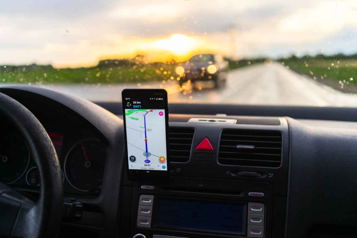
Waze functions in Iceland just like it does elsewhere: it uses GPS data and crowd-sourced reports to guide drivers, display traffic conditions and alert users to hazards. The app supports driving directions throughout the country, including in the capital, Reykjavik, near Keflavik Airport, and along major tourist routes like the Golden Circle and the Ring Road (Route 1).
However, the app’s strength, user-generated data, is also its greatest weakness in a country with fewer active users. Outside Reykjavik, there aren’t enough local drivers or tourists contributing real-time updates. This means alerts about road closures, delays or hazards are often incomplete or delayed.
So, while Waze can offer turn-by-turn directions on major routes, its crowd-sourced nature makes it less effective outside of populated areas. For short drives or city navigation, Waze will get you where you need to go, but it might not be enough for long road trips through Iceland’s sparsely populated regions.
How Reliable Is Waze for Navigation in Iceland?
While Waze does work in Iceland, you might be wondering exactly how reliable it is. Well, unlike densely populated countries where Waze thrives on active input, Iceland’s user base is small. This lack of live data affects some of the app’s core features, including its ability to reroute efficiently or warn about upcoming obstacles.
Does Waze Cover All Icelandic Roads?
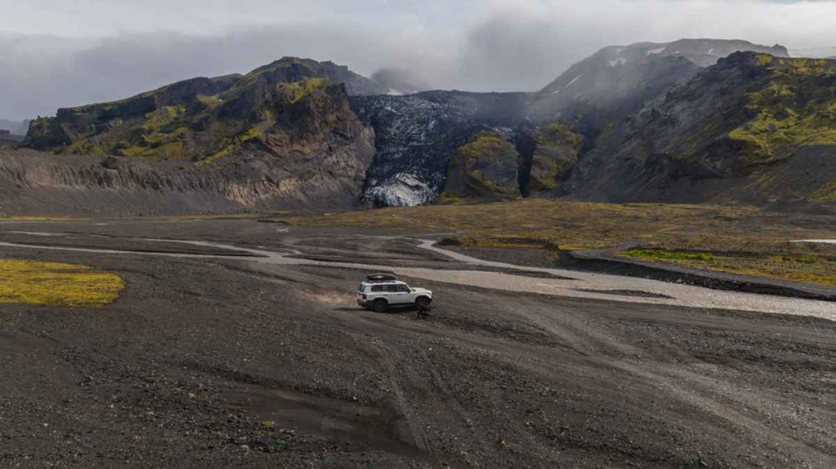
Waze covers most major and secondary roads, including highways and routes to popular tourist destinations like Gullfoss Waterfall, Thingvellir National Park, and the coastal village of Vik. However, it struggles with F-roads, which are rugged mountain routes typically open only during summer and accessible only by 4x4 vehicles.
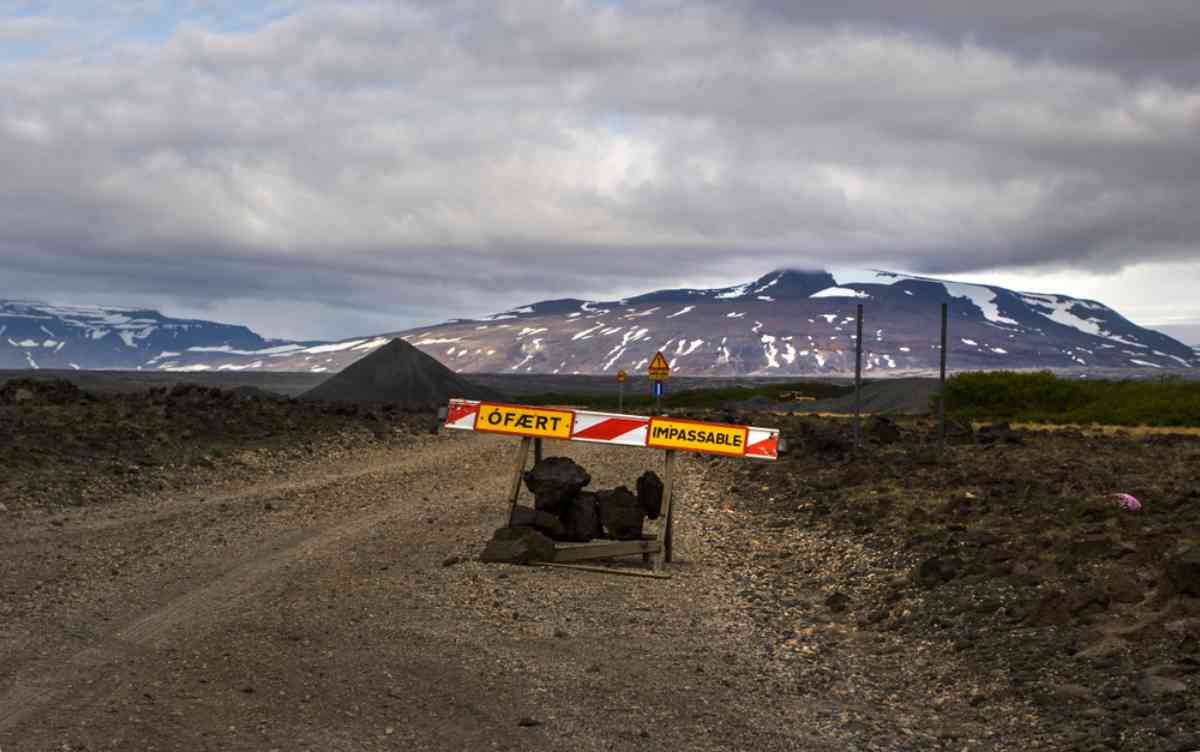
Waze may not display accurate road status or closures for F-roads. If the app suggests a shortcut through an F-road, this could lead to serious issues, since most Icelandic car rental agreements specifically forbid off-road or F-road driving without a specialized vehicle.
For safety, we recommend always verifying your route with a secondary app before setting out, ideally Google Maps or SafeTravel (more on this later).
Waze and Real-Time Traffic Updates in Iceland
Iceland’s road network rarely experiences heavy traffic outside of Reykjavik, so Waze’s real-time traffic advantage holds less value here. Its other live features, like accident reports or police alerts, depend heavily on user participation, which is sparse in rural regions.
When traveling the South Coast or Ring Road, you might find little to no real-time activity displayed within the Waze app. For traffic avoidance, it’s useful mainly within Reykjavik and its surrounding areas.
The Shortcomings of Waze on Icelandic Roads
When you’re deciding whether or not to use Waze in Iceland, these limitations are important to keep in mind, especially if you’re planning a multi-day road trip around the island.
- GPS signal challenges in remote zones – Many of Iceland’s most stunning destinations, including waterfalls, glaciers, or lava fields, lie far from major cities. In some valleys or mountainous areas, mobile connectivity can drop, affecting GPS stability. Since Waze requires a live data connection for most of its features, it may lose functionality, leaving you without directions.
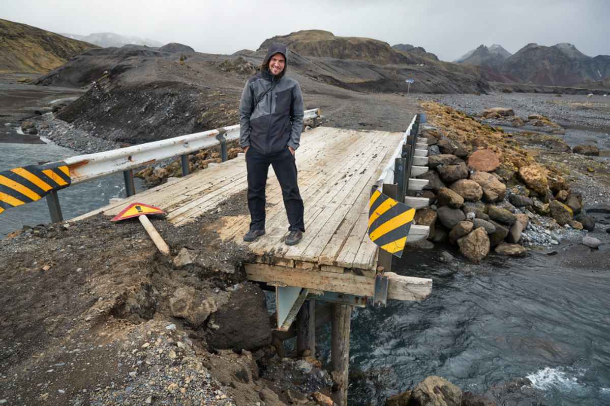
- Missing F-road coverage and incorrect routing – Waze can sometimes underestimate route difficulty and Icelandic road conditions. Drivers have reported Waze suggesting routes through unpaved or restricted mountain trails that are legally off-limits for rental cars. Always double-check suggested paths against official maps to confirm road openings and restrictions before proceeding.
- Incomplete road and safety warnings – Waze does not consistently display speed limit changes, gravel surface warnings, or road condition alerts. In Iceland, where sandstorms, floods, and strong winds can appear without warning, you need to keep up to speed on any safety warnings while driving.
The Best Navigation Apps for Driving in Iceland (Alternatives to Waze)
While Waze can be really useful as a navigation tool in urban areas, you might want to consider supplementing it with another navigation app for trips further afield.
Waze vs. Google Maps: Which Navigation App Is More Reliable?
In terms of offline usability, Google Maps supports full offline downloads covering all of Iceland, so you can download entire regions before beginning your road trip. This ensures continued navigation even without a cellular connection, while Waze requires a data connection for all navigation.
Google Maps also has more consistent traffic coverage, better identification of F-roads, and more accurate hazard alerts. Waze performs reasonably well within urban areas, but Google Maps offers superior reliability across the island’s remote zones. Google Maps also provides more consistent driving times, route restrictions, and visual cues for difficult roads, making it one of the most reliable options for navigation in Iceland.
SafeTravel: Icelandic Road Safety Alerts
Developed by the Icelandic Association for Search and Rescue, SafeTravel is an essential companion for any road trip in Iceland. It provides live updates on road closures, weather warnings, and travel advisories. You can even submit trip plans and emergency contact details, improving rescue efficiency in case of unforeseen trouble. This app complements navigation tools like Waze or Google Maps by offering important safety features.
Vedur: Iceland’s Official Weather Tracker
Before any long drive, check the weather using Vedur, the official app from the Icelandic Meteorological Office. Vedur delivers highly localized forecasts, including wind speed, precipitation, and storm alerts. Combining Vedur with a navigation app ensures safer route planning, especially during winter.
Should You Use Waze When Renting a Car in Iceland?
Whether Waze is right for your trip depends on where you plan to drive and how comfortable you are with Icelandic road types and conditions.
Waze can be used safely in the following conditions:
- In Reykjavik or suburban areas, where mobile coverage is strong and user-generated data exists.
- For urban driving or parking, where Waze efficiently locates addresses and alerts about traffic congestion.
- When using it alongside Google Maps or SafeTravel as an additional navigation source.
We recommend avoiding relying on Waze in the following scenarios:
- Rural or highland travel, as Waze is prone to data loss and routing inaccuracies in these areas.
- During bad weather or winter conditions, as it doesn’t provide sufficient alerts about icy roads or closures.
- When crossing restricted areas, as it’s important to avoid F-roads unless you have a 4x4 and confirm that the road is open.
For a smooth driving experience, we recommend using at least two apps, such as Google Maps for navigation, and SafeTravel or Vedur for real-time safety updates.
Tips for Safe Navigation in Iceland with GPS Apps
- Download offline maps before you depart from Reykjavik or your hotel Wi-Fi connection because there’s limited internet and cell service in remote zones.
- Monitor Iceland’s weather forecast daily because weather conditions can change fast; a sunny morning can turn into a snowstorm in hours.
- Keep an eye on road conditions in Iceland to make sure you’re up-to-date about any closures.
- Plan your trips to account for early sunsets during winter months.
- Keep your rental company’s emergency contact number handy in case of breakdown or route problems.
- Avoid shortcuts that cross private property or mountain trails. Stick to approved routes to comply with rental insurance policies.
- Bookmark local resources for road trip planning and safety guidance.
What’s the Best Navigation App for Iceland?
So, does Waze work in Iceland? Yes, it’s operational across the country and it’s useful for basic driving directions, but it lacks the reliable offline capabilities, road condition alerts, and local data needed for a journey through Iceland’s remote areas.
For the average car renter or camper traveler, we recommend an optimal navigation combination of: Google Maps for main navigation (with offline areas downloaded); SafeTravel for live road and safety updates; Vedur for weather forecasts; and Waze, optionally, for local traffic around Reykjavik. By blending these tools, you can confidently explore Iceland’s breathtaking landscapes.
Ready to start vacation planning? The team at Motorhome Iceland are happy to help you find the perfect travel and accommodation solution for your trip. Simply get in touch with us and we’ll help you find a reliable and affordable motorhome rental in Iceland to make your vacation one to remember!
